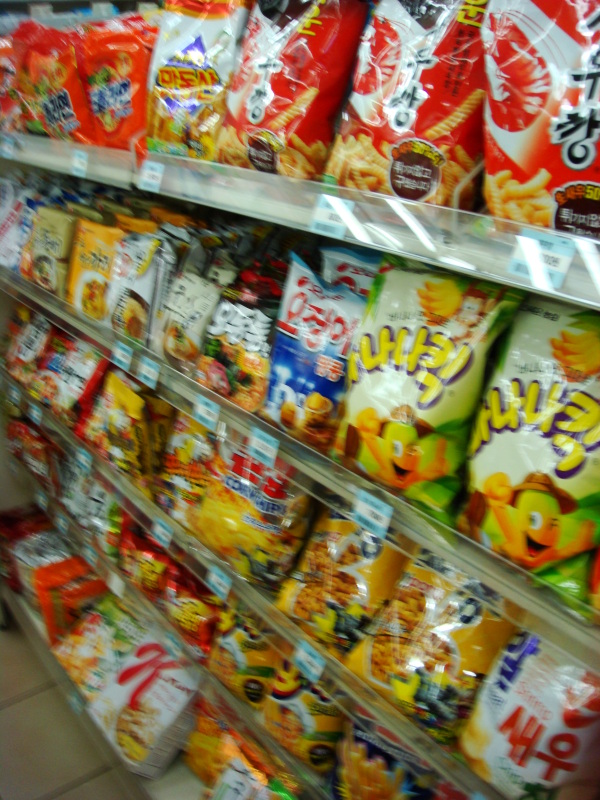
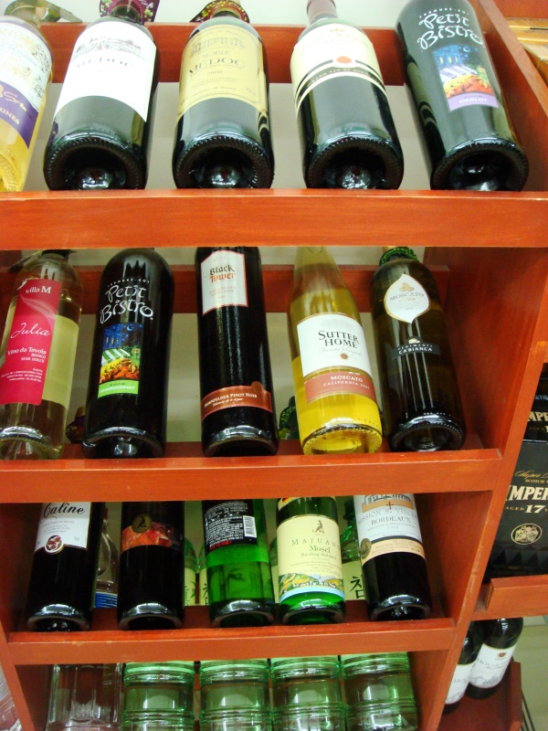
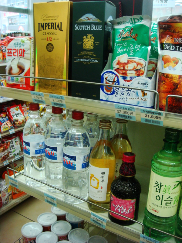
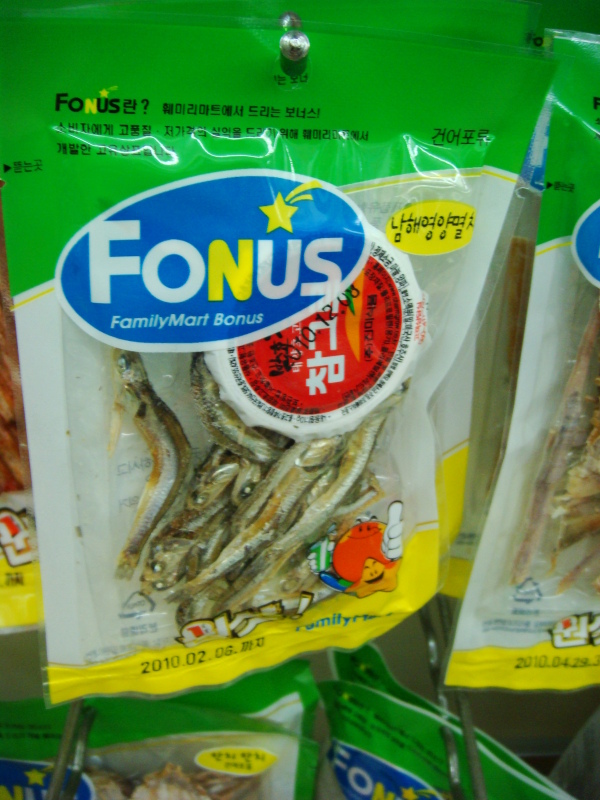
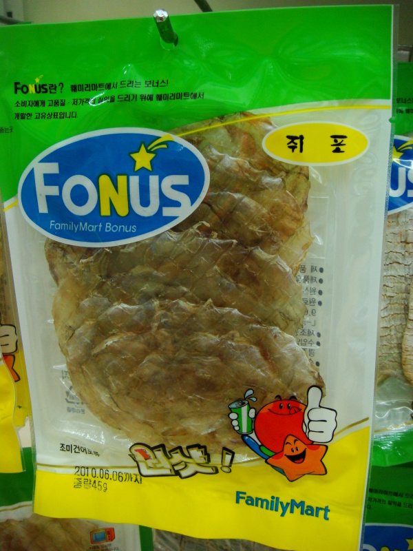
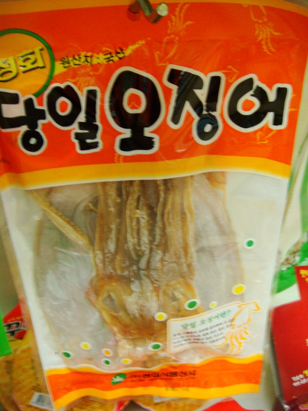
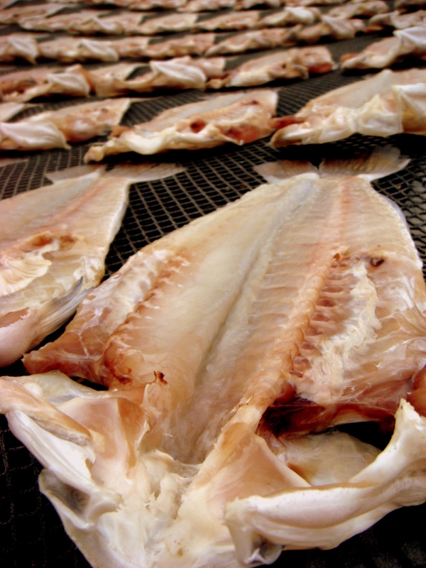
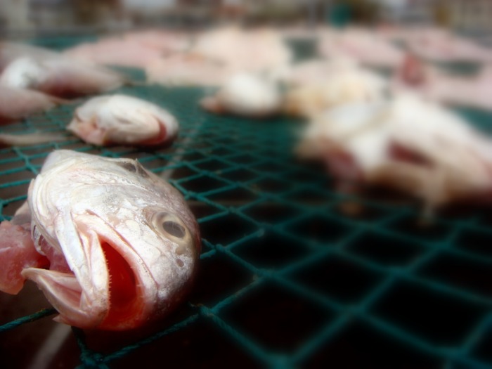
Hidden amongst the month-old burgers, squid cheese and dried food can be found the occasional delicacy. GS-25's and Family Marts (they all look arike) are now stocking cheese sticks, which in a dairy-deprived world are a god-send. Plus at these convenience stores there is no shortage of beer, soju, makkali, scotch or wine. The selection decent, and the price reasonable. Plus I can still find taffy, gum, detergent, gimbap, cherry coke, and hard-boiled eggs. It's amazing what gels together in this hemisphere. Especially the dried squid and anchovies.
0 Comments
Climbing Sanbangsan had been on my list of things to do since I first saw the giant blister of a mountain rising out of the fog on a cool February day. On the south side are sheer cliffs rising straight up from the ground, while the north side has somewhat of a ravine splitting the two sides. Being considered a holy mountain by many Buddhists (and apparently some shamans), hiking is prohibited. (Just adding fuel to the fire.) The fine for getting caught hiking on Sanbangsan is about $200 and a man old enough to have seen the mountain rise up out of the earth is posted at the 'trail' entrance forbidding any passage. I've had a few friends that have made it to the top at least once, so I got some information from them on how to do. Apparently you have to sneak around the back side of a temple, cross west and run into the trail out of sight of the guard. So that is what we tried. After wandering around a dozen or so graves and cattle trails, we finally made it back to the temple. On the far side of the temple we thought we found the trail head, and began hiking in stealth mode. The trail continued through a monument/grave area and then into the thick underbrush. After some more hiking on a pretty well defined trail, we encountered what ended up being a shamanistic shrine. There was a small stone altar/platform built and evidence that there were occasionally fires and somebody cooking up there. Outside of the little overhang was a bunch of food and candy left as an offering. After the main shrine, we found one little area with more offerings, and the trail disappeared. We were left scrambling up rocks, climbing up loose soil using roots and holds and watching for rock falls. It was definitely not an easy climb, and was about the time we realized we were on the wrong trail. Instead of trying to find the main trail, we decided to keep pushing on. After another 15/20 minutes of serious hiking and climbing, we made it to one of the peaks. There were rocks with spots of green paint, so we figured we had to basically be in the right spot. After another 100m of hiking to the south, we came out onto a point you can see when viewing Sanbang from the east, and were out on this grassy rock with a sheer drop hundreds of feet all around us. As windy as it was, I don't think any of us were terribly comfortable. From this point we did a little more exploring and then started our descent down a little more west of where we started and into the ravine. The hike down started out pretty sketchy, but after about 15 minutes, we ended up finding the real trail which was rock an metal wiring, cleared fairly well. (Would have been nice to find on the way up...) By the time we reached the ground, the guard was gone, we grabbed some tangerines from a local farm, and headed back toward the car.
The view from Sanbansan was pretty amazing. I wish we had more time to explore, but I'm happy that I can finally say that I climbed the iconic mountain. Tansan is a small outcropping of rock just to the west of Sanbangsan. It's said that it resembles a sleeping dragon (what doesn't in Asia...) and has a fairly unique appearance compared to the surrounding oreums. Tansan appears as if there was a vein that ripped open violently on the surface of the earth and out spewed enough molten rock quickly to form this seemingly A-frame of a mountain. It's not impressively large by any means and is commonly overlooked. I had seen it before, and we happened about it after being denied a chance to climb Sanbangsan. ($200 fine if you're caught.) The scramble up Tansan, where you can do legit top rope climbing on some of the faces, took around 30 minutes which included waiting for some stragglers. Once we reached the southern peak, the view was not one to disappoint. We could see a panorama of the SW section of Jeju and on a clear day we could have seen Halla. (Our exploration mantra.) The fields below were so flat and led unwittingly right to the base of Tansan where the rock just springs up. To the north you could see the second peak of Tansan which appeared to have some fencing on it before it dropped of and curved slowly to the west as the slope diminished. At the foot of the western side was an ancient Confucian school which still holds a celebration twice a year, as long as a nice log cabin pension. After some pictures, an honorary sip of Makkali at the top for the gods and a few moments to take it all in, we headed down. Bryan blazed his own trail through briers, while Justin and I diverged halfway down to the ease of the pine trees lining the lower half. Another unforgettable adventure that was never even really in the plans. So I'm a little frustrated writing this post. Only because it's the third time I've written about Biyangdo. Both previous times, Weebly froze on me while I was uploading photos and lost all the typing. I guess it's partly my fault for not saving it, but it's easier to just blame technology. So this adventure was centered around the western island of Biyangdo and some Japanese war tunnels and anti--aircraft gun positions. Biyangdo is the island you can see from Hyeopjae Beach. The island's name literally means 'Flying Island'. The story I got from the Jeju website goes as follows: It is said that a thousand year ago, there were 99 small mountains on the main island of Jeju. Because it was one short of 100, it was not able to form a big country. One day, a small mountain was flying to Jeju Island. Just before it arrived at Jeju Island, a woman was surprised by the roaring sound. She went outside and shouted "Stop"because she thought it would hit the village. Then the small mountain stopped and became what is now known as Biyang Island. Some say that Jeju Island could have developed into a large country with 100 mountains except for her interference. So the Saturday Island Adventure Crew headed out with the addition of JuRyoung who helped a lot with translations. We arrived at the harbor all groggy, one that didn't drive probably slightly inebriated, and purchased our tickets for the ferry. We had a little time so we took some pictures of the port, and went and grabbed some Makkali. In front of he Makkali place we thought we found a phone/beer/coffee machine. How incredible would that be? But it was simply a phone booth with beer advertising, and I think you could get a tiny cup of sweet Korean coffee if you tried. A little while later, we boarded the ferry. If felt kind of like a submarine. We were basically sealed in a tiny seating area with a few portholes. Had the ship gone down, I don't know what we would have done. The ride ended up being smooth, and we made it there in about 10 to 15 minutes. Upon deboarding the boat, we headed left and around the south side of the island. It was nice having a path that ran around the circumference of the island, without any trail blazing. We had quite a few stops for pictures, and even one for me to see if the marsh was really a fresh water marsh. Apparently it is only during low tide, and I was there at high tide. The salt on the rocks should have given it away, but nonetheless I gave it a shot. Much to my chagrin, we encountered a waste-water treatment plant not 200m further along the marsh walkway. (Still, I did not get sick.) After about an hours worth of circling the island, we hiked the oreum in the middle, getting a gorgeous view of the rest of Jeju (if it were a clear day, we could see Halla, right guys?) and all of Biyangdo. By the time we made it back to the one restaurant on the island of 100 people (which I think is a gross exaggeration) we were all starving and lack of sleep was catching up to us. We sat down and had some Bomaljuk porridge and kimchi chigay. It was delicious and very satisfying. Much more 'home-made tasting' than the ones from Gimbab Heaven.
After lunch and some makkali drinking at one of two stores on the island, we headed back on the boat around 3pm. This ride was definitely rougher, but it didn't stop most of the crew from passing out for a couple minutes. Back on shore, JuRyoung headed back to Jeju-si and we went and found the tunnels. They were pretty impressive and intimidating. They were large enough to fit an full-sized army cargo truck into, and were built using Korean slave labor. (These poor people on Jeju have been through hell. Mongolians, Japanese, way too many massacres.) There were quite a few ceiling collapses in the 1500m worth of tunnels under the oreum, so we only explored about 300-400m worth. We saw a couple bats, but unfortunately no artifacts or anything. In a few places you could still see the pick-ax marks on the wall from the manual labor. On top of the oreum we watched the sunset (but it still won't set into the ocean, just into the haze) and walked around the anti-aircraft weaponry positions. It was a pretty incredible day, once again, and this time followed up be a delicious turkey (yes turkey in Korea!) dinner at Geckos. Min-ho and the gang were nice enough to save 4 dinners for us just in case they got close to selling out. After not having turkey for a solid year, and spending my first Thanksgiving away from my family (you know how Greeks have to get together...) it really made me think of home. What a great day. I have 24 days left on this island. Just over 3 weeks. From here I'm headed to the Philippines until probably January 11th. From there I'm taking a flight to Guam where I'll spend 24 hours just to see what I can and then on to Honolulu where I'll stay with my surf buddy Stephen for 3 days and hopefully get a few waves. It looks like I should be home around Sunday, January 18th, the day before my birthday. Since Monday is MLK day, hopefully most of my friends will have off and will be able to come over and have a drink or two and catch up. And I'm praying I'm not too jet lagged after 5 flights in a week....
So with my limited time remaining, I've had some help in gathering an adventurous little 4-some consisting of myself, the infamous Brian Miller, Justin (J-ROC) Nalepa and the Naomi Stanko. With such a clear view of my time coming to an end here on Jeju, I figured I needed to do all that stuff I had wanted to but hadn't gotten around to. Thus we developed 'Island Saturdays'. Every Saturday we wake up (hungover or not) and travel to an island off the coast. If we can't get to an island we pick a mountain or oreum. So far we've done Chagwi-do, Biyang-do, Tan-san and some Japanese WWII tunnels and anti-aircraft positions. It's been pretty incredible. I unfortunately forgot my camera for Chagwi but you can check out the pictures from The Brian HERE. (Even if you don't have facebook, you can check out the pictures.) If you have problems with it, let me know and I'll copy and paste some pictures in my pictures section on here. Chagwi was amazing in a desolate sense. There were a few ruins of structures, one which might have been a house, the others (based on their size) were probably more military oriented. The typical Jeju house has one or two rooms, and this was big enough to have 6 or so. There was even a stone well and a couple of 2m tall stone pinnacles which were probably made from visiting fisherman and not b residents. The entire island was covered in golden wheat-looking plants that flowed with the wind. We walked to basically every point on the island, and I climbed the small weather station/lighthouse on the west side. There was even a nice little wave breaking on the NW side. So we took a fishing boat out to the island and had them pick us up to take us back to shore. Once back on shore we got some pajang (pancake with onions, squid and various things) plus some makkali (Korean rice wine) and warmed up. We hiked to the top of the famous Suwolbong, looked at the prehistoric site at Gosan and then went to Yeongmori so the girls could see the cliffs and canyons for the first time. To finish things off we went to an old Japanese radar station from WWII that was built into the side of a mountain and looked around. It was a pretty awesome trip, and the lonely but still so vibrant life on Chagwi was truly an experience I won't forget. |
MuggsJust a little journal about my life. Click 'Comments' or the Titles if you'd like to add anything. The words printed here are concepts. You must go through the experiences.
|